3D Wreck & Archaeological Site Digital Twins
High-resolution, photorealistic 3D point clouds of historical wrecks and submerged artifacts, for museums, researchers, and local tourism boards.
What This Involves
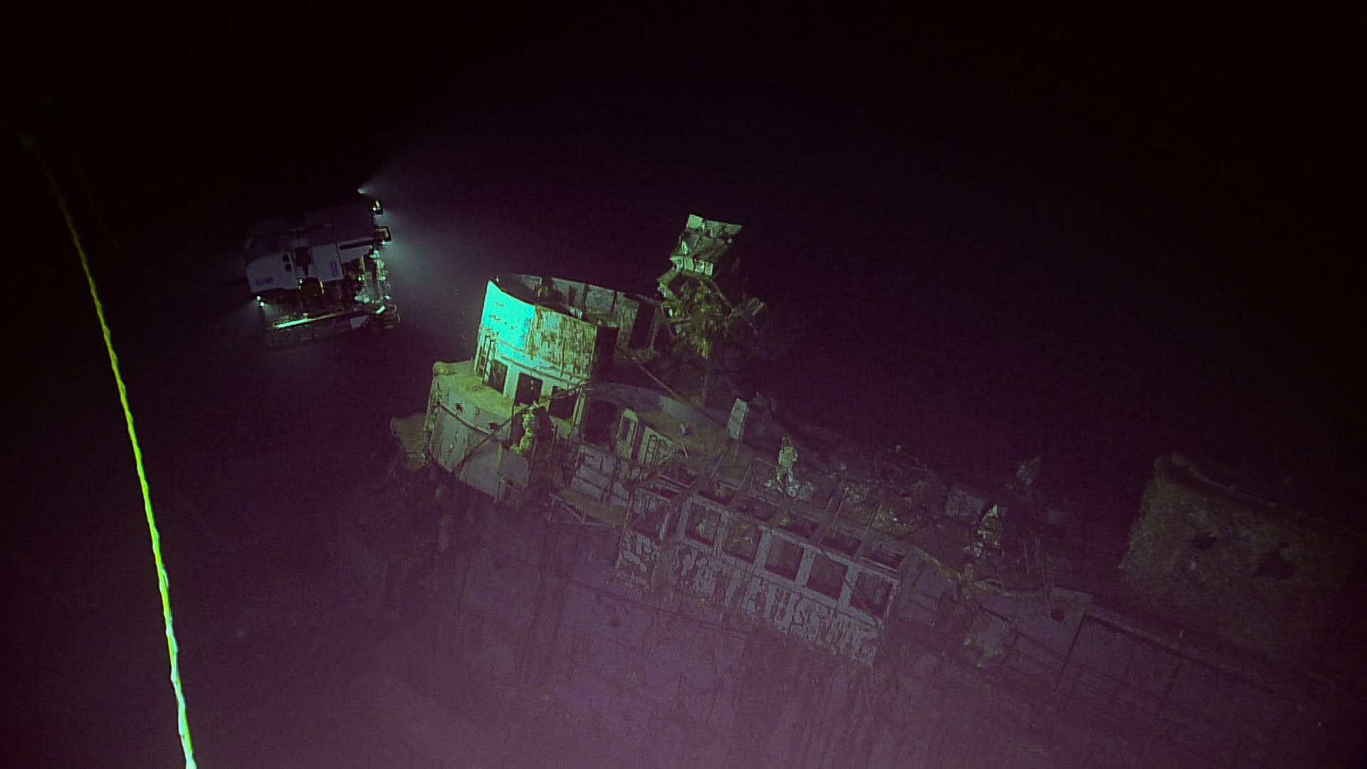
A historical wreck or submerged artifact field is a one-time-to-disturb, infinite-times-to-study resource — which is the entire case for a high-resolution, non-invasive 3D capture. We produce photorealistic 3D point clouds detailed enough for genuine archaeological study, usable by museums for public-facing digital exhibits, by researchers for repeat condition monitoring, and by local tourism boards as a way to present a site the public can't physically dive.
How It's Done
Full-coverage photogrammetric and sonar survey of the site, captured without physical contact
High-resolution 3D point cloud and photorealistic mesh reconstruction
Site documented against a fixed reference grid for repeat-survey comparability
Deliverable formatted for the intended use — research dataset, public viewer, or museum exhibit
Deliverable
A high-resolution 3D point cloud and photorealistic model of the site, non-invasively captured.
Who It's For
Heritage authorities, research institutions, museums, and tourism boards documenting a submerged site.
What does 3D Wreck & Archaeological Site Digital Twins involve?
A historical wreck or submerged artifact field is a one-time-to-disturb, infinite-times-to-study resource — which is the entire case for a high-resolution, non-invasive 3D capture. We produce photorealistic 3D point clouds detailed enough for genuine archaeological study, usable by museums for public-facing digital exhibits, by researchers for repeat condition monitoring, and by local tourism boards as a way to present a site the public can't physically dive.
How does it work?
- Full-coverage photogrammetric and sonar survey of the site, captured without physical contact
- High-resolution 3D point cloud and photorealistic mesh reconstruction
- Site documented against a fixed reference grid for repeat-survey comparability
- Deliverable formatted for the intended use — research dataset, public viewer, or museum exhibit
What's the deliverable?
A high-resolution 3D point cloud and photorealistic model of the site, non-invasively captured.
Who is 3D Wreck & Archaeological Site Digital Twins for?
Heritage authorities, research institutions, museums, and tourism boards documenting a submerged site.